This pic was taken on 25 October 2014, which unlike the 26th was bright and sunny, so this picture you get unretouched! I am on northbound River Road in Fair Lawn, which is also Route 507. This River Road (not to be confused with nearby River Street in Paterson) turns into westbound Wagaraw Road if you continue straight through the upcoming intersection. The cross street is Maple Avenue. To the left is the Maple Avenue Bridge over the Passaic into Paterson; to the right Maple is Route 507. Behind me is a directional sign telling you about 507 turning right but I didn't have a chance to take the picture. I'll have to go back and get one later.
Route 507 only grazes the northeast corner of my area of study so I'm not paying a ton of attention to it, save for this corner. Now I'm going to proceed onto Wagaraw Road, which may be Bergen County route 5 or route 69, but is completely unsigned. Our next point of interest is at the next traffic light, the north end of the Lincoln Avenue Bridge.
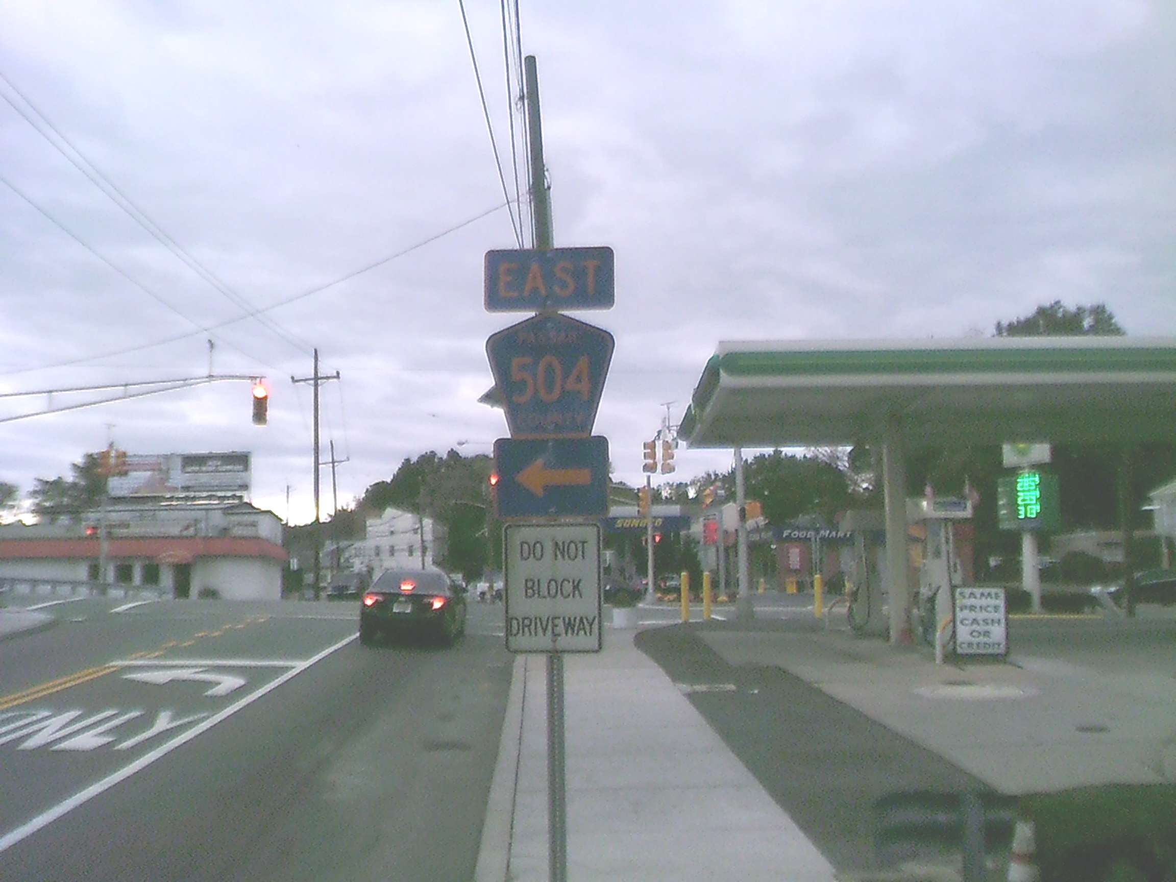
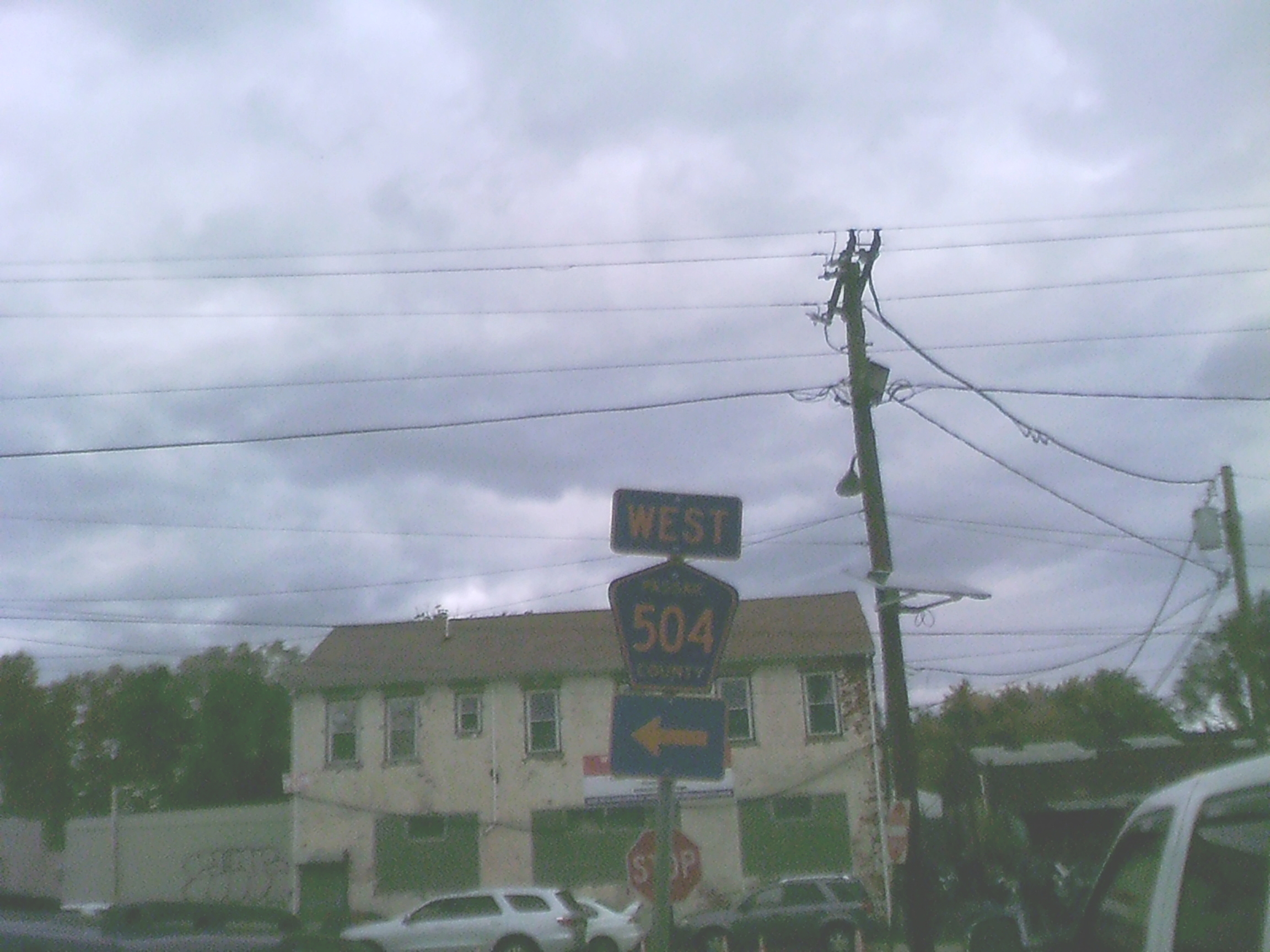
The above and the next several pictures are shots of the corner of Wagaraw Rd. and Lincoln Av. from various directions. This picture is taken from westbound Wagaraw approaching Lincoln. It is plain to see that to go east on Route 504, you'd want to turn left at the light. But what about westbound 504?
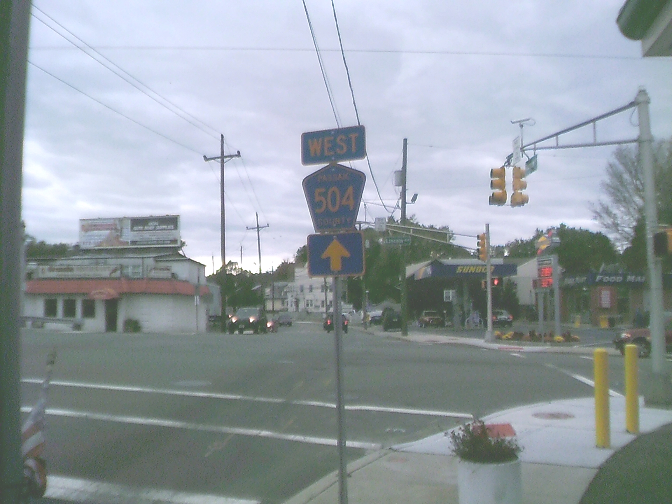
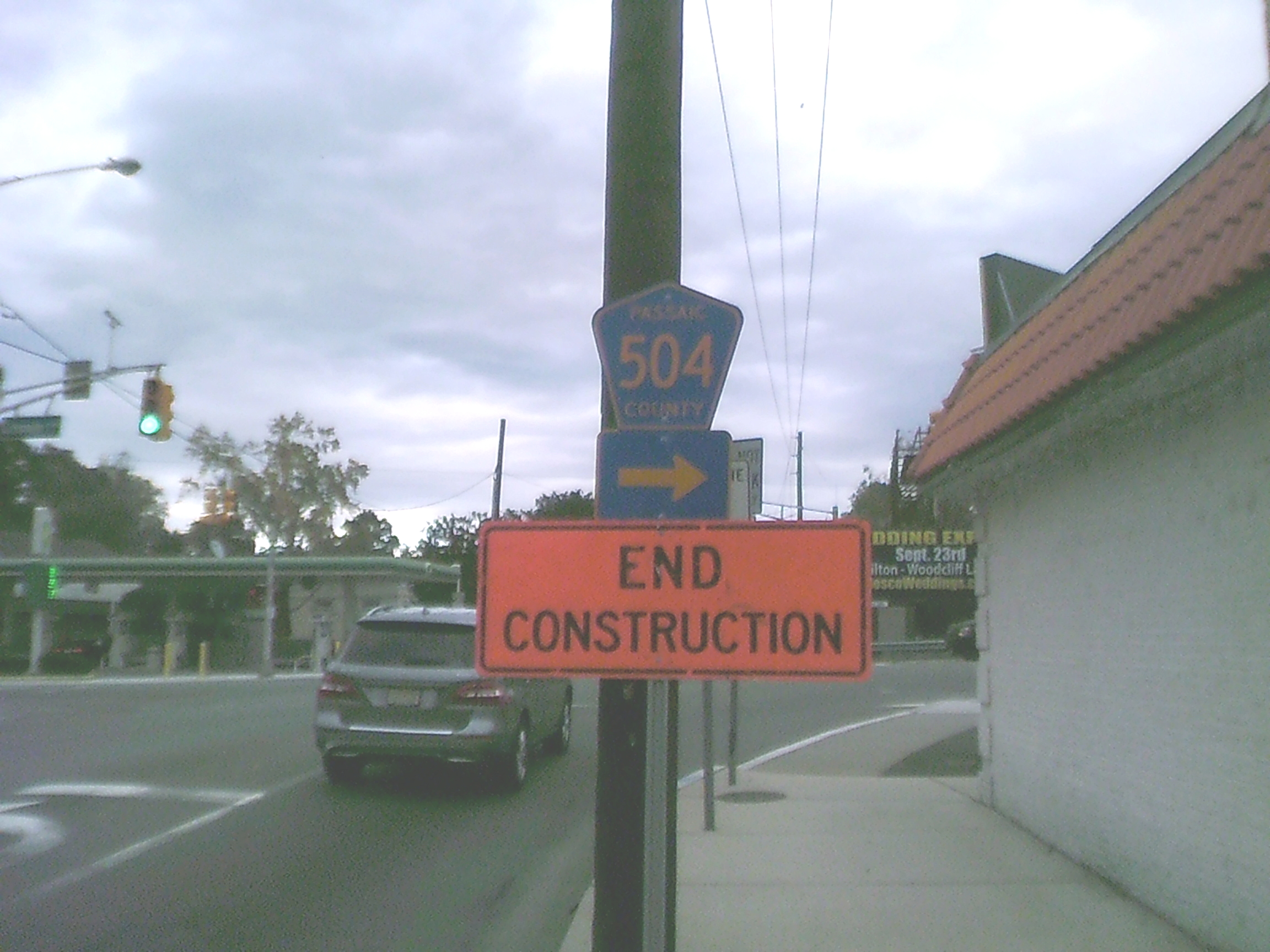
Eureka! A short distance further on -- and cleverly hidden behind stuff in the previous picture -- here is the directional sign for westbound 504! Why didn't they put the two directional signs together? Yes, I know that just getting these signs at all is a major miracle, but STILL... These two signs say Passaic County, since they maintain route 504 and the bridge, but the signs themselves are actually in Fair Lawn and Bergen County; the county line is in the middle of the intersection.
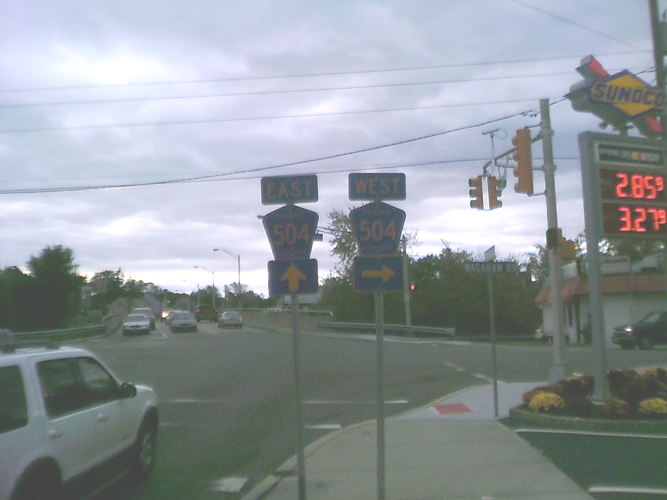
Going counterclockwise around the intersetion, here is the view from southbound Lincoln Av. They managed to put the signs together here. The far end of the bridge in the background is in Paterson, about which more later; I'm standing in Hawthorne but the other side of Lincoln is in Fair Lawn.
Turning right onto Wagaraw, facing westbound away from the intersection, this is the first westbound 504 reassurance shield on Wagaraw Rd.
Turning around so that I'm facing eastbound on Wagaraw, toward the intersection again. Directional sign for eastbound 504 which turns onto the bridge.
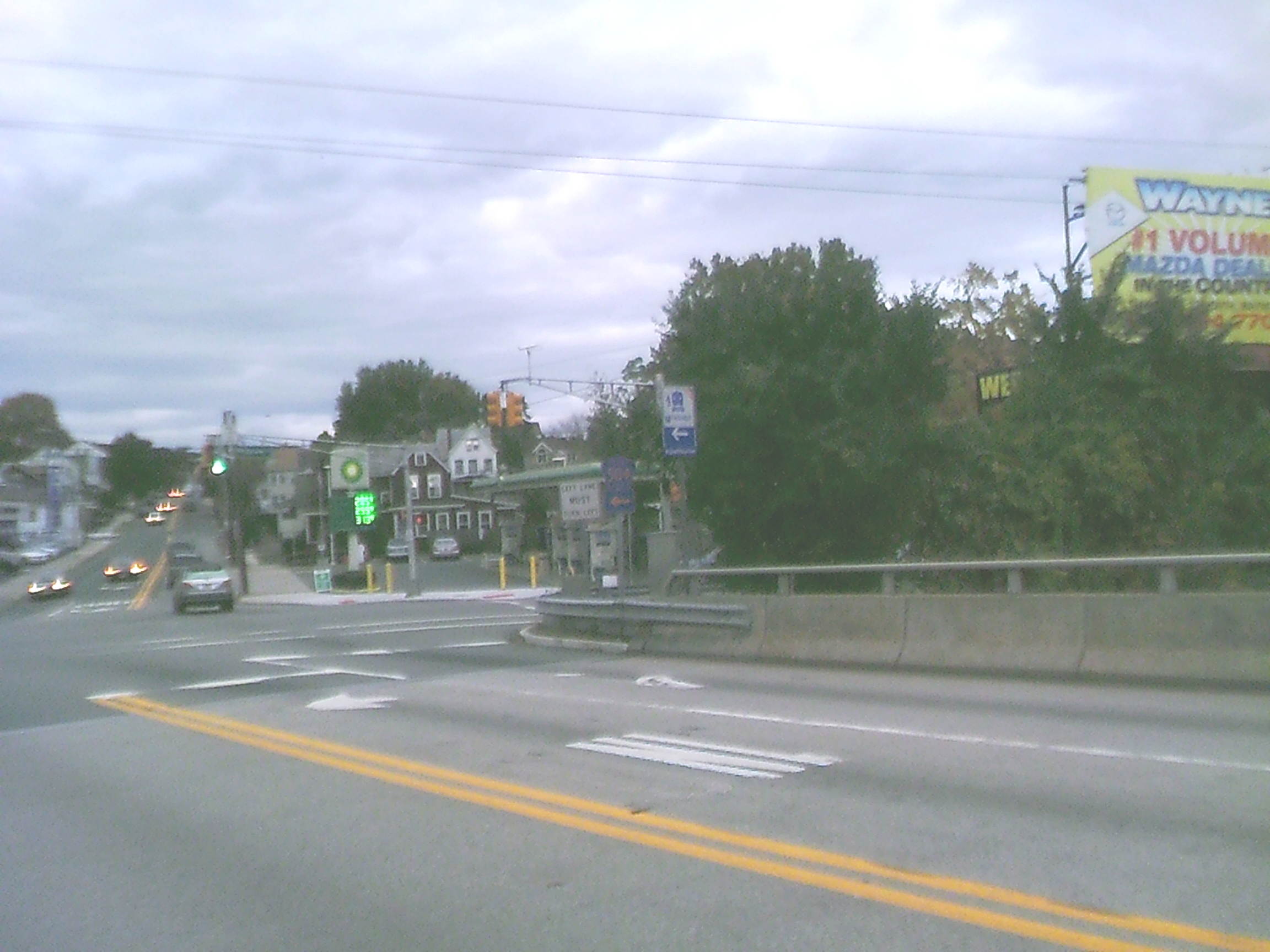
Standing on the Lincoln Av. Bridge over the Passaic River. Facing the intersection, northbound on Lincoln. Of the signs in the middle of the shot, the left and right ands are high contrast, which means that the sign between them -- a lower-contrast directionsal sign for westbound 504 -- is really difficult to make out. That's the last picture involving the Lincoln/Wagaraw intersection. Now I turn around and look into Paterson.
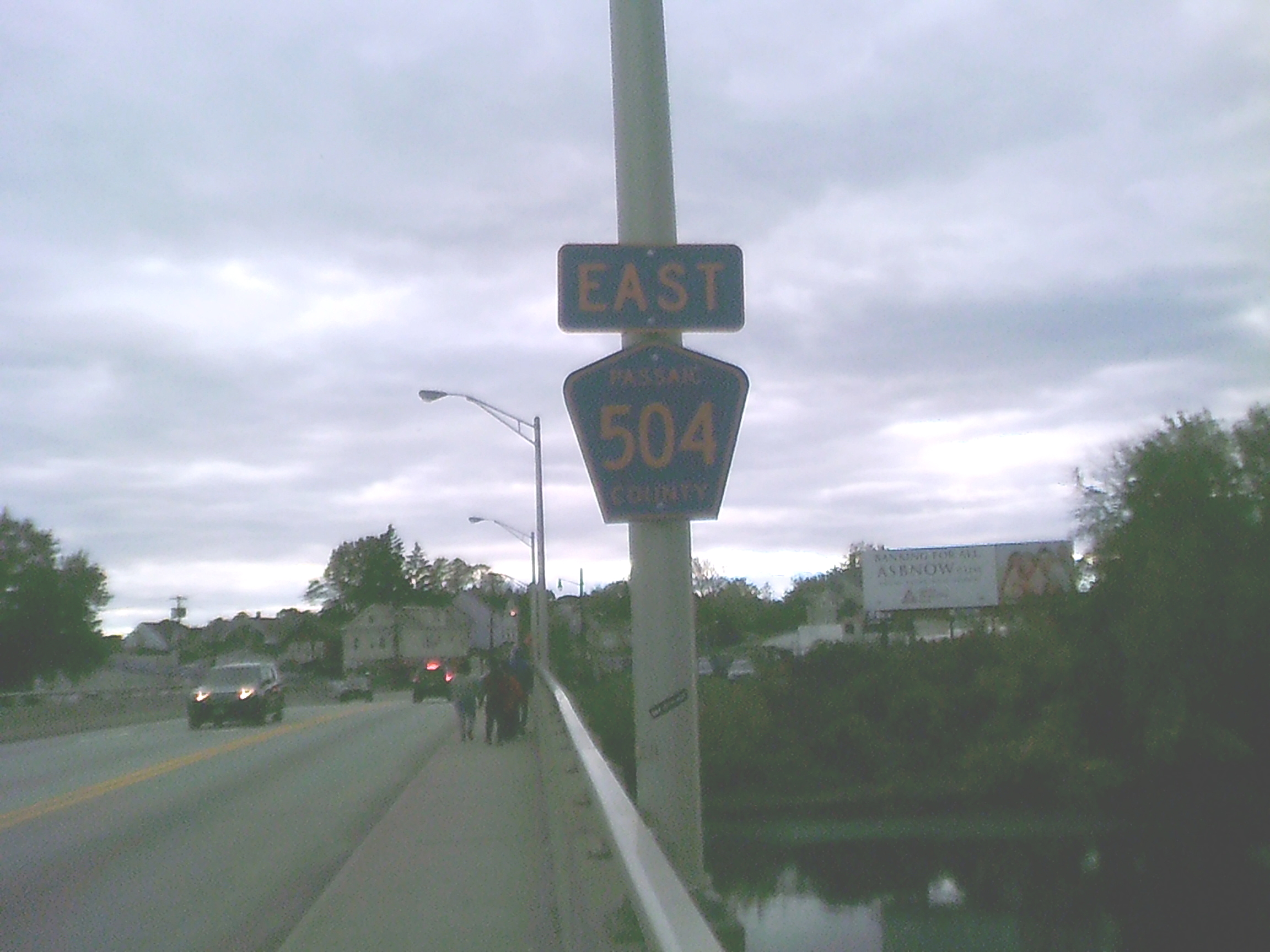
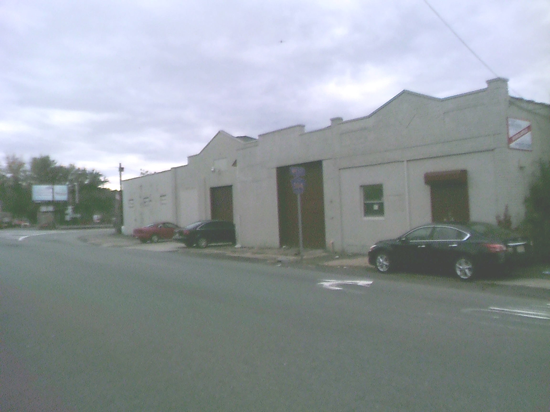
Looking southbound on the bridge, there's a good chance that this shield on the bridge is the last EB 504 reassurance shield before the highway's eastern terminus. Possibly, even, the last EB 504 shield of any sort, even though having directional signs in Paterson would be really nice.
Facing north on CR 649, Madison Avenue in Paterson, at its northern terminus where it tees into First Avenue. The directional sign here says that First is westbound 504!! (And there is no sign anywhere nearby that so much as mentions northbound 20.)
Turning left onto First, this weatbound 504 reassurance sign is almost immediately visible. I suspect it should be a directional sign: add an up-and-right diagonal arrow sigh underneath. Why? Because 504 is about to take the right fork that is just visible on the left adge of the picture.
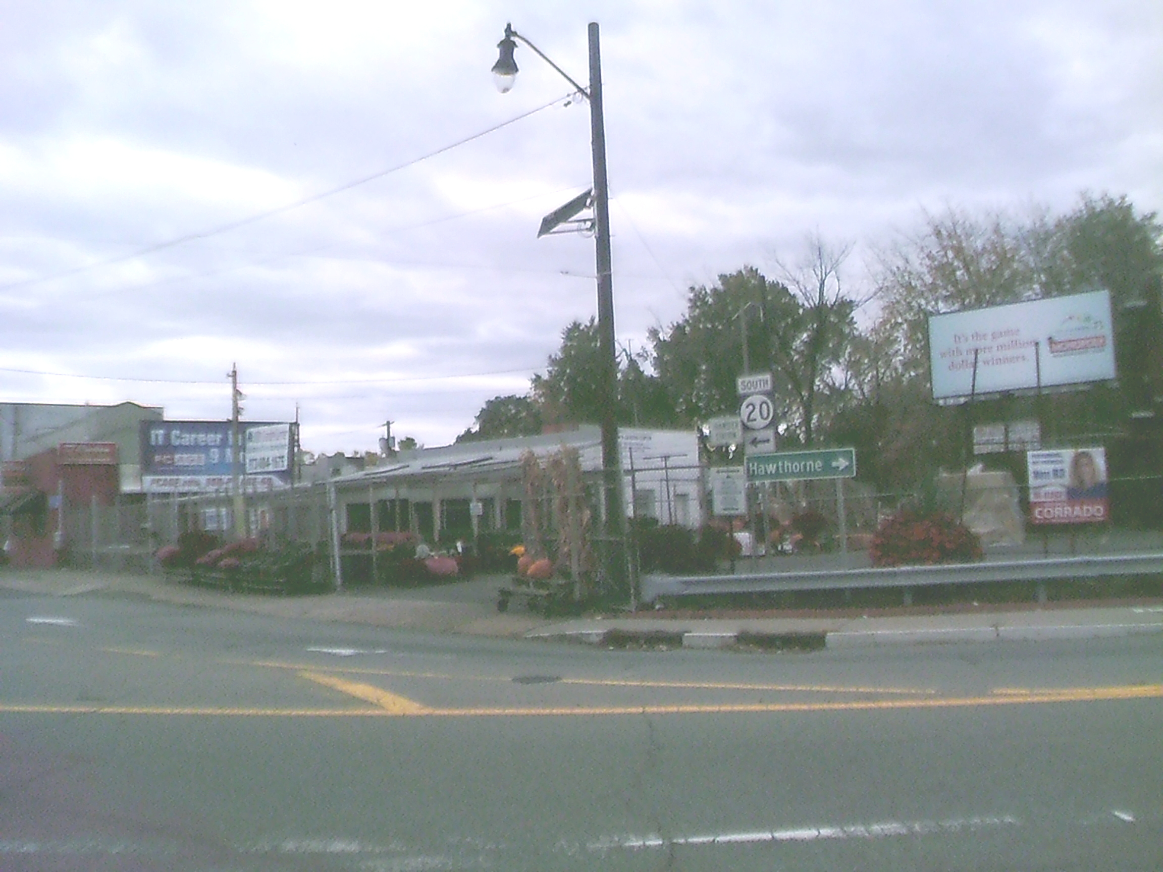
Looking at the fork in the road that was just visible in the previous shot, this is the west end of First Av, the south end of Lincoln Av, and the north end of River St. Supposedly, this is the end of northbound 20. But why is the only sign for southbound 20? At best the sign should say "TO South 20" if the SLDa are to be believed. But what NJDOT appears to have signed is for 20 to end in a big loop, with southbound 20 beginning here where northbound 20 ends. (Also, where are the mileage signs as befits a NJ state highway? There don't appear to be any on First, Second, or even on most -- if not all -- of McLean.)
And what about route 504? According to the signs we were already on westbound 504. But there are NO signs here for 504 at all. There should be at least one. If this be the true eastern terminus of 504, there whould be a "West 504" sign with a right arrow above the right-hand side of the "Hawthorne" sign. Otherwise there should either be a "504" with double-headed arrow, or separate signs for "East 504" and "West 504" with appropriately directed arrows. But nope, we got nothing about 504. Guess Passaic County ran out of money for signage (or perhaps ran out of interest in making things more clear).
Back to Stuff